What You will See and Experience: Field Visit 2

Landslide-Affected Areas: Varunavat and Dharali

  • On-site understanding of landslide disasters: Examine the affected landscape and learn about the events, their impacts and the local terrain conditions.
  • Geological and geomorphological observations: Understand the role of slope geometry, geological materials, drainage and erosion in Himalayan slope instability.
  • Mitigation and restoration: Learn about the mitigation, rehabilitation and recovery measures undertaken at the visited locations, where applicable.
  • Disaster response and relief arrangements: Discuss emergency response, evacuation and relief-camp arrangements associated with the relevant events.
  • Challenges in Himalayan terrain: Explore the difficulties of monitoring unstable slopes, protecting infrastructure and strengthening the resilience of mountain communities.
  • Lessons for future risk reduction: Discuss good practices and remaining challenges in landslide risk management in the Himalayan region.

Field Observations Along the Route

  • Recognising landslide types: Observe different landslide features and discuss their possible causes and mechanisms.
  • River erosion and slope instability: Understand how river processes and erosion can affect the stability of adjacent slopes.
  • Mountain terrain and infrastructure: Examine the relationship between steep slopes, roads, settlements and landslide exposure.
  • Learning from real-world cases: Discuss how field observations can inform monitoring, mitigation and early warning strategies.

Along the Route

Experience the dramatic landscapes of the Garhwal Himalaya, with scenic river valleys, forested mountain slopes and picturesque Himalayan settlements. Depending on the confirmed route, participants may have opportunities to appreciate the Bhagirathi River valley and the beautiful Harsil region while travelling to the landslide-affected areas around Uttarkashi and Dharali.
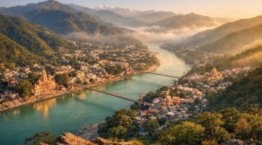
Rishikesh and the Ganga River Corridor

A striking introduction to the Himalayan foothills, with the Ganga flowing through a landscape of forested hills, suspension bridges and riverside ghats.
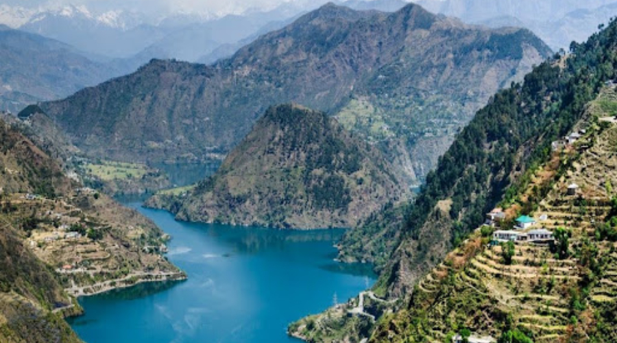
Tehri Lake and Dam

A large mountain reservoir surrounded by steep green slopes. The wider Tehri region illustrates the interaction between mountain landscapes, river systems and major infrastructure.
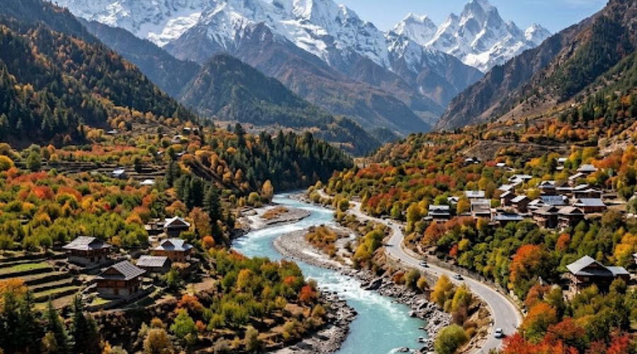
Harsil Valley

A beautiful Himalayan valley known for mountain scenery, forests, rivers and traditional villages. Dharali lies in this valley, so the group passes through it on the way to the field site.
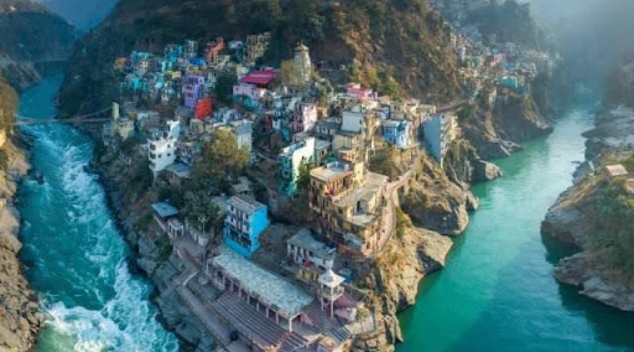
Devprayag

The spectacular confluence of the Bhagirathi and Alaknanda rivers, which join to form the Ganga. It is a beautiful landscape and an excellent example of how river systems shape Himalayan valleys.
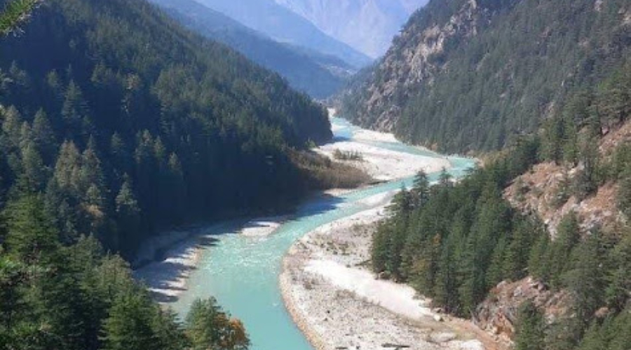
Bhagirathi River Valley

The river valley around Uttarkashi provides dramatic mountain scenery, steep slopes and river–slope interactions that are particularly relevant to a landslide field excursion. The town itself offers views of the surrounding Himalayan ranges.

Note:

The above-mentioned additional stops are subject to the bus schedule and the availability of safe parking.